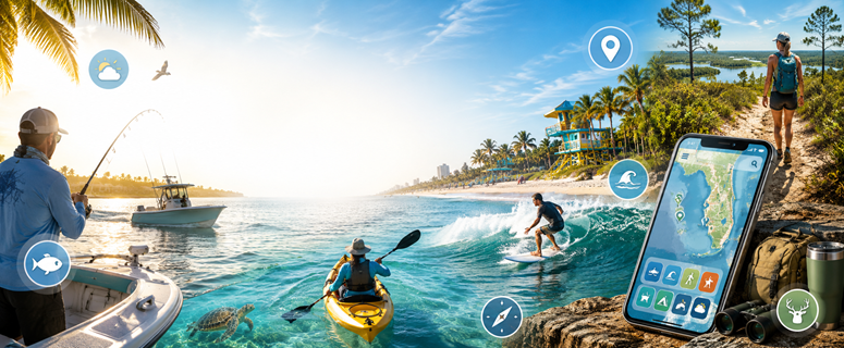
Florida outdoor adventures are easier when you have the right apps in your pocket. Whether you’re planning a fishing trip, checking tides before a beach day, finding hiking trails, watching the weather, or looking for boating conditions, these apps can help residents and visitors make better decisions before they head out.
From saltwater fishing tools and marine weather apps to hiking maps, hunting resources, surfing forecasts, and beach condition updates, this guide highlights useful digital resources for exploring Florida outdoors.
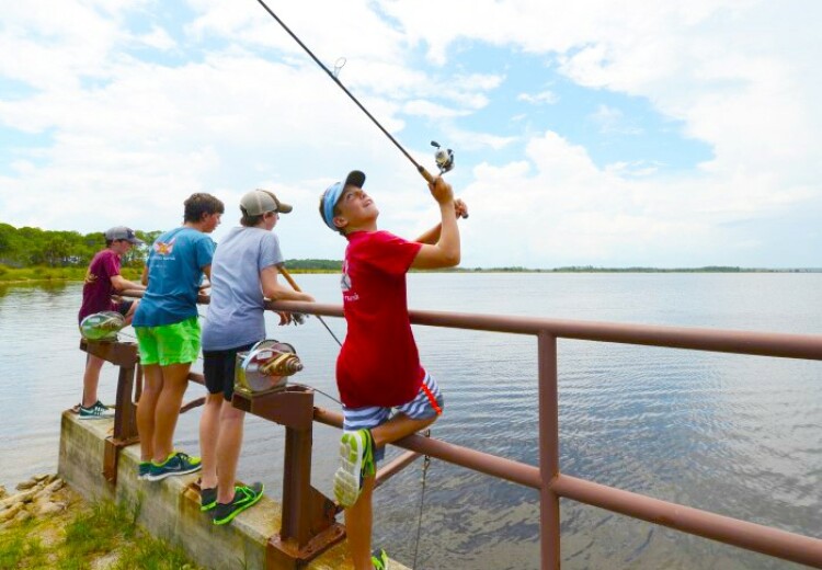
Best Fishing Apps for Florida Anglers
Salt Strong Smart Spots
Salt Strong Smart Spots is built for inshore saltwater anglers and helps users find fishing spots using smart map layers, tides, weather, underwater structure, oyster beds, seagrass, and species-focused tools. It is especially useful for Florida anglers targeting redfish, snook, speckled trout, flounder, and other inshore species.
Fish Rules
Fish Rules helps anglers understand fishing regulations based on location and date. The app uses GPS and calendar tools to show relevant saltwater fishing rules, which makes it helpful for Florida residents and visitors who want to stay compliant before keeping a catch.
Fishbrain
Fishbrain is a fishing app for finding spots, checking fishing forecasts, logging catches, and connecting with other anglers. It can be useful for Florida freshwater and saltwater fishing trips.
Fish | Hunt FL
Fish | Hunt FL is the official Florida Fish and Wildlife Conservation Commission app for fishing and hunting licenses, regulations, stored licenses, sunrise and sunset times, feeding times, boat ramps, seas, tide stations, and more.
Best Boating Apps for Florida Waters
Navionics Boating
Navionics Boating is a marine navigation app with nautical charts, route planning, markers, tracks, weather, tides, currents, buoys, and boating tools. It is a strong fit for Florida boaters, anglers, and coastal explorers.
BCRS — Mote Marine Laboratory
The Beach Conditions Reporting System provides real-time and near-real-time information from participating beaches, including flag color, water temperature, surf conditions, crowds, respiratory irritation, dead fish, amenities, and more. Very useful for Florida beach days and red tide awareness.
Best Surfing Apps for Florida Beaches
Surfline
Surfline provides surf reports, forecasts, live cams, wave height, wind, weather, water temperature, tide information, buoy charts, and nearshore models. It is one of the better-known tools for checking Florida surf conditions.
Surf-Forecast.com
Surf-Forecast.com provides surf forecasts and reports for thousands of surf spots, along with beach cams, wind forecasts, wave maps, and surf alerts.
Best Hunting Apps for Florida Hunters
Florida hunters can use mobile apps to check regulations, manage licenses, scout land, review weather, track wind direction, and plan safer trips before heading into the field. These hunting apps can help with everything from Florida license access and harvest reporting to GPS mapping, property boundaries, deer movement, and outdoor conditions.
Fish | Hunt FL
The official Florida Fish and Wildlife Conservation Commission app for hunters and anglers. Users can access licenses, regulations, harvest reporting tools, sunrise and sunset times, feeding times, boat ramps, tide stations, and other outdoor resources for Florida.
onX Hunt
A GPS hunting map app with land boundaries, offline maps, satellite and topo layers, waypoints, tracking, weather tools, and public/private land information. Helpful for scouting, planning, and staying aware of property lines.
HuntStand
A hunting and land management app with GPS maps, property boundaries, satellite imagery, scouting tools, weather, and land-management features. Good for hunters who want mapping, stand locations, and field planning tools.
HuntWise
A hunting app with mapping, weather, wind forecasting, and hunt prediction tools. It can help hunters plan around conditions and choose better times to be in the field.
DeerCast
A deer hunting forecast app focused on deer movement, weather, wind, and hunting conditions. Best for hunters looking for day-by-day deer activity guidance.
Go Outdoors Florida
A Florida outdoor licensing app/resource where users can buy and manage hunting and fishing licenses, permits, and related Florida outdoor credentials.
Best Hiking Apps for Florida Trails
AllTrails
AllTrails helps users discover hiking, biking, running, walking, kid-friendly, dog-friendly, stroller-friendly, and accessible trails. It includes reviews, maps, route planning, and navigation, making it useful for exploring Florida parks and trails.
Florida Trail App / Florida Hikes
Florida Hikes offers Florida Trail app segments covering the 1,500-mile Florida National Scenic Trail, with maps and trail guidance for hikers exploring different parts of the state.
Florida State Parks
The Florida State Parks mobile app gives users on-the-go access to state parks, trails, historic sites, campgrounds, amenities, maps, and directions.
Best Camping & RV Apps for Florida
The Dyrt
The Dyrt helps campers find campgrounds, RV parks, tent sites, cabins, and outdoor stays across Florida and beyond. Users can browse reviews, photos, maps, amenities, and availability, making it useful for planning everything from beach camping to state park getaways.
Campendium
Campendium is a camping and RV travel resource with campground reviews, photos, cell service reports, dump station information, and road access details. It is helpful for RV travelers looking for Florida campgrounds, public lands, overnight stops, and scenic places to stay.
Recreation.gov
Recreation.gov helps users find and reserve campsites, tours, permits, and outdoor experiences on federal lands. In Florida, it can be useful for booking campgrounds and recreation areas managed by agencies such as the National Park Service, U.S. Forest Service, and other federal partners.
RV Life Trip Wizard
RV Life Trip Wizard is designed for RV trip planning, helping travelers map routes, find campgrounds, estimate travel time, and plan stops based on RV-friendly roads and preferences. It is especially useful for snowbirds, road trippers, and RV owners exploring Florida.
Best Beach, Tide & Shelling Apps
Tides Near Me
Tides Near Me helps users quickly check tide times, tide charts, sunrise, sunset, and nearby tide stations. It is useful for Florida beach days, fishing trips, kayaking, shelling, boating, and planning around changing water levels.
My Tide Times
My Tide Times provides tide tables, tide charts, current tide conditions, sunrise and sunset times, and location-based tide information. Florida visitors and residents can use it to plan beach walks, fishing trips, paddle outings, and shelling adventures.
BCRS — Beach Conditions Reporting System
The Beach Conditions Reporting System provides beach condition updates from participating locations, including flag color, surf conditions, water temperature, crowds, respiratory irritation, dead fish reports, and nearby amenities. It is especially helpful for checking Florida beach conditions and red tide impacts before heading out.
Shell Museum App / Bailey-Matthews National Shell Museum
The Bailey-Matthews National Shell Museum offers shelling resources and identification help for people interested in Florida’s coastal shells and marine life. It can be a helpful tool for beachcombers who want to learn more about the shells they find along Florida beaches.
Best Weather & Hurricane Apps for Outdoor Planning
MyRadar
MyRadar is a weather radar app that shows animated radar, storm tracking, rain alerts, wind, temperatures, and weather layers. It is useful in Florida for watching afternoon storms, planning outdoor activities, and staying aware of changing weather conditions.
NOAA Weather Radar Live
NOAA Weather Radar Live provides radar maps, weather alerts, storm tracking, forecasts, and severe weather updates. Florida users can use it to monitor rain, thunderstorms, tropical weather, and changing outdoor conditions.
National Hurricane Center
The National Hurricane Center is one of the most important resources for Florida residents during hurricane season. It provides official tropical weather outlooks, storm tracks, advisories, maps, watches, warnings, and hurricane preparedness information.
Florida Storms App
Florida Storms provides weather alerts, radar, tropical updates, lightning information, and storm coverage focused on Florida. It is a useful resource for residents who want localized weather information during thunderstorms, tropical systems, and hurricane season.
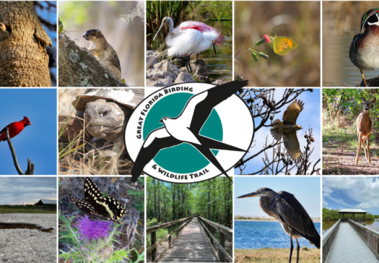
Best Wildlife & Birding Apps in Florida
Merlin Bird ID
Merlin Bird ID helps users identify birds by answering simple questions, uploading photos, or recording bird sounds. It is a great app for Florida birdwatching, whether you are visiting wetlands, beaches, parks, wildlife refuges, or your own backyard.
eBird
eBird allows birders to record sightings, explore recent bird activity, find hotspots, and contribute observations to a global birding database. In Florida, it is useful for discovering where birds are being seen and tracking seasonal migration activity.
iNaturalist
iNaturalist helps users identify plants, animals, insects, and other wildlife by uploading photos and sharing observations with a community of naturalists. It is useful for exploring Florida’s parks, trails, beaches, wetlands, and backyard wildlife.
Best Kayaking & Paddleboarding Apps
Go Paddling
Go Paddling helps paddlers find launch points, waterways, and paddling locations. It is useful for discovering places to kayak, canoe, or paddleboard in Florida, from springs and rivers to coastal waterways and mangrove trails.
Paddle Logger
Paddle Logger helps kayakers, paddleboarders, and other paddlers track trips, distance, time, speed, and routes on the water. It is useful for Florida paddlers who want to record their outings and monitor their progress.
Windy
Windy provides detailed wind, weather, radar, waves, rain, and forecast maps. It is especially helpful for Florida boaters, paddlers, surfers, anglers, and beachgoers who need to understand wind and weather conditions before heading out.
Waterway Guide
Waterway Guide provides boating and waterway information, including marinas, anchorages, navigation details, bridges, hazards, and cruising resources. It is useful for Florida boaters, paddlers, and travelers exploring coastal and inland waterways.